


La Roquebrussane - Les Orris

Daniel.BRUN-PICARD
User
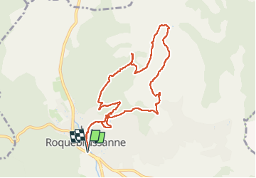

Length
10.4 km

Max alt
589 m

Uphill gradient
410 m
Km-Effort
15.9 km

Min alt
359 m

Downhill gradient
410 m
Boucle
Yes
Creation date :
2024-09-22 07:51:49.234
Updated on :
2024-10-08 17:29:26.032
4h56
Difficulty : Medium

FREE GPS app for hiking
 SityTrail
IGN / Geographical institutes
SityTrail Plus
The world is yours!
About
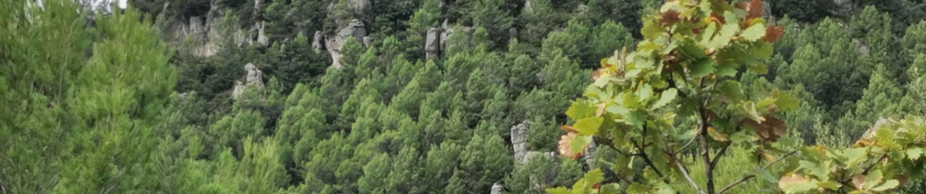
Trail Walking of 10.4 km to be discovered at Provence-Alpes-Côte d'Azur, Var, La Roquebrussanne. This trail is proposed by Daniel.BRUN-PICARD.
Photos


Positioning
Country:
France
Region :
Provence-Alpes-Côte d'Azur
Department/Province :
Var
Municipality :
La Roquebrussanne
Location:
Unknown
Start:(Dec)
Start:(UTM)
741321 ; 4802583 (31T) N.
Comments